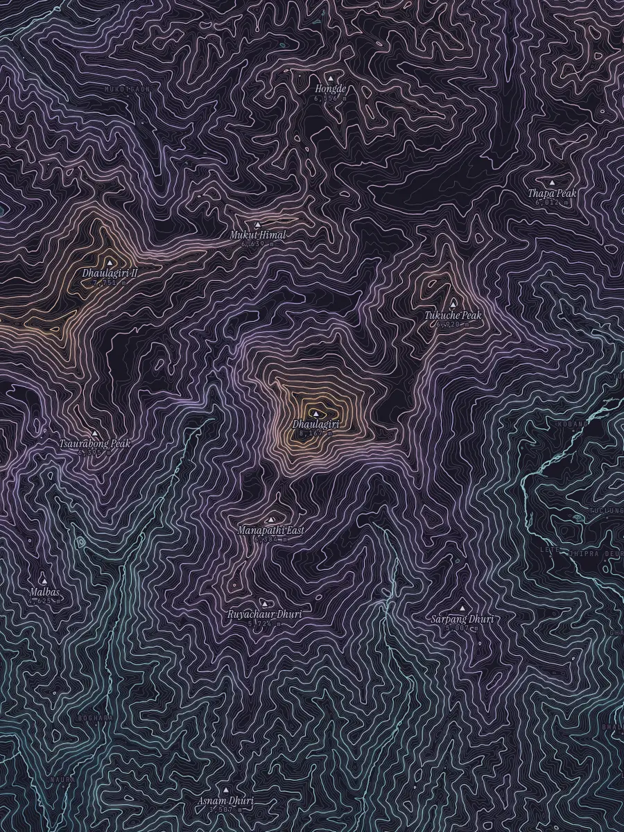
- Elevation
- 8,167 m26,795 ft
- Range
- Himalaya
- Country
- Nepal
- Coordinates
- 28° 41′ 48″ N83° 29′ 15″ E · 28.6967, 83.4875
- In this index
- 7th highestof 56 summits
Dhaulagiri stands 8,167 metres above the sea, in the Himalaya of Nepal: the 7th highest of the 56 summits in this index. Its nearest neighbour here is Annapurna, 34 km to the east.
Topography draws it the way it draws everything: contour lines every 50 metres, coloured from teal valleys to a gold summit, with water, borders and names, and nothing else. No satellite imagery, no shaded relief, no zoom slider. A handful of fixed scales, and the lines.
Walk the contours of Dhaulagiri on the live map, or search anywhere on Earth.
In the Himalaya
- Mount Everest 8,849 m Himalaya · Nepal / China
- Kangchenjunga 8,586 m Himalaya · Nepal / India
- Lhotse 8,516 m Himalaya · Nepal / China
- Makalu 8,485 m Himalaya · Nepal / China
- Cho Oyu 8,188 m Himalaya · Nepal / China
- Dhaulagiri 8,167 m Himalaya · Nepal
- Manaslu 8,163 m Himalaya · Nepal
- Nanga Parbat 8,126 m Himalaya · Pakistan
- Annapurna 8,091 m Himalaya · Nepal
- Ama Dablam 6,812 m Himalaya · Nepal